The Top 10 Hiking Trails in the UK
From Highland peaks to Welsh coastal cliffs and England's ancient wall path, ten real trails ranked by renown, with when to go, what to expect, and the weather and safety notes each one actually needs, plus why hiking is one of the best things you can do for your body and mind.
By Miles Ashworth · 2 Sept 2026 · 6 min read · United Kingdom edition
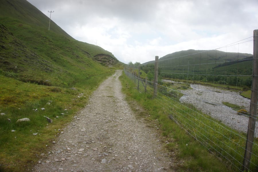 The West Highland Way. Photo: Ian S, via Geograph (CC BY-SA 2.0).
Hiking does something a gym membership rarely manages: it gets you fitter without ever feeling like exercise. A real trail, climbing and descending over uneven ground, works stabiliser muscles a flat treadmill session leaves untouched, pushes the heart and lungs harder than a casual walk, and builds bone density and balance in a way few everyday activities do. Then there's the part that has nothing to do with your legs. Time spent outdoors and away from a screen is consistently linked to lower stress, better sleep, and a genuine lift in mood, the kind of clear head a short walk around the block rarely produces. Britain has some of the finest trail country anywhere in the world for it, coastal cliffs, Highland peaks, ancient moorland, so we went looking for the ten that reward the effort most.
#10: Coast to Coast Walk · Northern England · 190 miles
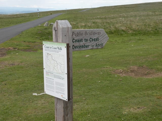 Coast to Coast route near Kirkby Stephen. Photo: malcolm tebbit, via Geograph (CC BY-SA 2.0).
The Coast to Coast Walk runs 190 miles from St Bees on the Cumbrian coast to Robin Hood's Bay on the North Sea, crossing three national parks, the Lake District, the Yorkshire Dales, and the North York Moors, in a single 12 to 15 day route. Go between May and September; Lakeland weather turns quickly even in summer, and the moorland sections underfoot get genuinely boggy after rain. It only became an official National Trail in 2025, so older stretches aren't fully waymarked, carry a real OS map rather than relying on signage, and book accommodation well ahead since there's none of the wild-camping infrastructure Scotland's trails have.
#9: South West Coast Path · England · 630 miles
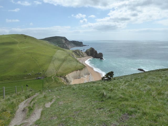 Scratchy Bottom and Durdle Door, South West Coast Path. Photo: Maurice D Budden, via Geograph (CC BY-SA 2.0).
England's longest National Trail runs 630 miles around the coastlines of Somerset, Devon, Cornwall and Dorset, past Durdle Door and the Jurassic Coast, with roughly 35,000 metres of cumulative ascent from constantly climbing in and out of every cove. Spring and autumn are the better windows; summer gets crowded and winter brings closures on the more exposed stretches. Keep dogs on a lead near the cliff edges and livestock, there have been real, fatal incidents of dogs going over the edge chasing a scent, and check tide tables before committing to any beach-level section.
#8: Pennine Way · England / Scotland border · 268 miles
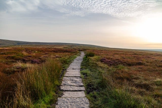 The Pennine Way. Photo: Peter McDermott, via Geograph (CC BY-SA 2.0).
Britain's original National Trail, designated in 1965, runs 268 miles from Edale in the Peak District to Kirk Yetholm on the Scottish border, and its combined ascent adds up to more than Everest's height. Mid-May to September is the realistic window; even experienced winter walkers treat it carefully. Waterproofs and a working compass aren't optional, navigation across the high moorland gets genuinely difficult in mist even where the route is well signposted.
#7: Causeway Coast Way · Northern Ireland · 33 miles
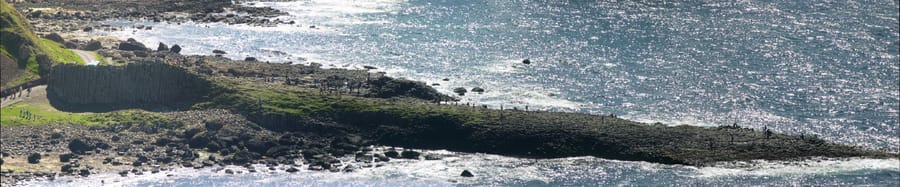 The Giant's Causeway. Photo: Jim, known online as code poet, via Wikimedia Commons (CC BY-SA 2.0).
A shorter 33-mile, two-to-three-day route along the Antrim coast between Portstewart Strand and Ballycastle, passing directly through the basalt columns of the Giant's Causeway, a UNESCO World Heritage Site, and the Carrick-a-Rede rope bridge, which needs a separate timed ticket. Several sections are tide-dependent, so check times before setting out, and the path's dramatic cliff-top stretches are best avoided in high wind.
#6: Hadrian's Wall Path · England · 84 miles
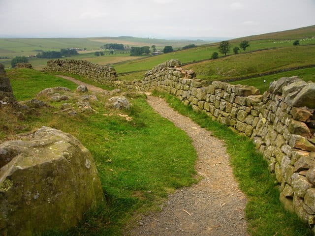 Peel Crags, Hadrian's Wall Path. Photo: Chris Gunns, via Geograph (CC BY-SA 2.0).
Following the line of the Roman wall itself, also a UNESCO World Heritage Site, for 84 miles between Wallsend and Bowness-on-Solway, this is mostly an easy walk except for one genuinely tough 23-mile middle stretch through the rugged Whin Sill crags, with repeated short, sharp climbs. May to September is the sensible window. The landscape shifts from farmland at each end to the wall's most dramatic, photographed sections in the middle, where the exposure to wind picks up noticeably.
#5: Pembrokeshire Coast Path · Wales · 186 miles
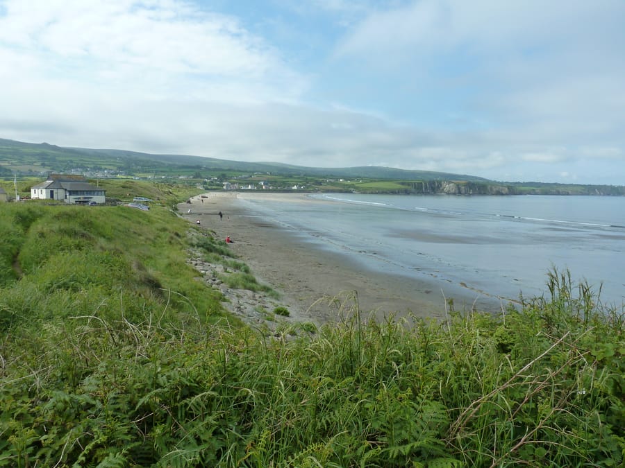 Newport Sands, Pembrokeshire Coast Path. Photo: Dave Spicer, via Geograph (CC BY-SA 2.0).
186 miles from St Dogmaels to Amroth, and despite never climbing especially high, the constant up-and-down of a genuine coastal path adds up to around 10,500 metres of total ascent, more than several mountain routes on this list. Spring brings the wildflowers and seabird colonies, autumn brings seal pups and migrating birds; it's walkable year-round. As with the South West Coast Path, keep dogs leashed near the cliffs and livestock, real fatalities have resulted from dogs going over the edge here too.
#4: Skye Trail · Old Man of Storr · Trotternish, Scotland · 22.75 miles (full ridge)
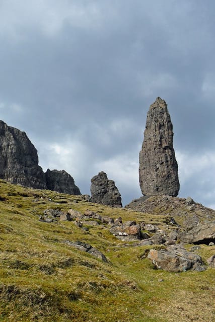 The Old Man of Storr, Trotternish, Skye. Photo: John Allan, via Geograph (CC BY-SA 2.0).
The Old Man of Storr itself is a manageable 45 minutes each way to Britain's largest landslip feature, a landscape of pinnacles and cliffs that looks almost invented; the full Trotternish Ridge extends that into a serious 22.75-mile day. Go early morning or late afternoon specifically, the short walk to the Old Man gets seriously crowded between 10am and 3pm. Skye's weather changes with no warning at any time of year, and the exposed ridge sections are not the place to be caught out in poor visibility.
#3: Snowdon · Yr Wyddfa · Wales · 9.4 miles (Llanberis Path)
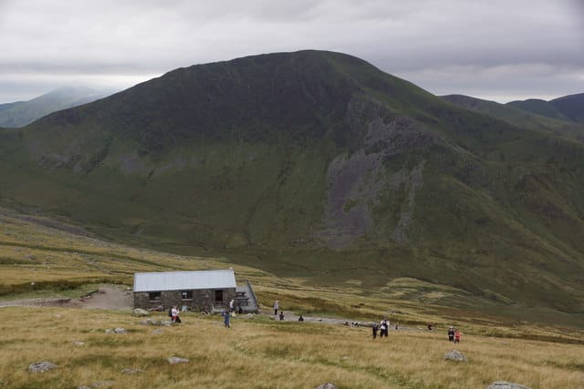 The Llanberis Path, Snowdon. Photo: Mike Pennington, via Geograph (CC BY-SA 2.0).
Wales' highest peak and the most-climbed mountain in the UK, with six routes to the top; the Llanberis Path is the easiest and most popular, a 9.4-mile round trip taking six and a half to seven hours. The summit visitor centre only opens early May to late October, which is the realistic climbing season for most walkers. There's little shelter from the weather on any route, and conditions at altitude can turn dramatically faster than they do at the base.
#2: Ben Nevis · Scotland · 10 miles (Mountain Track)
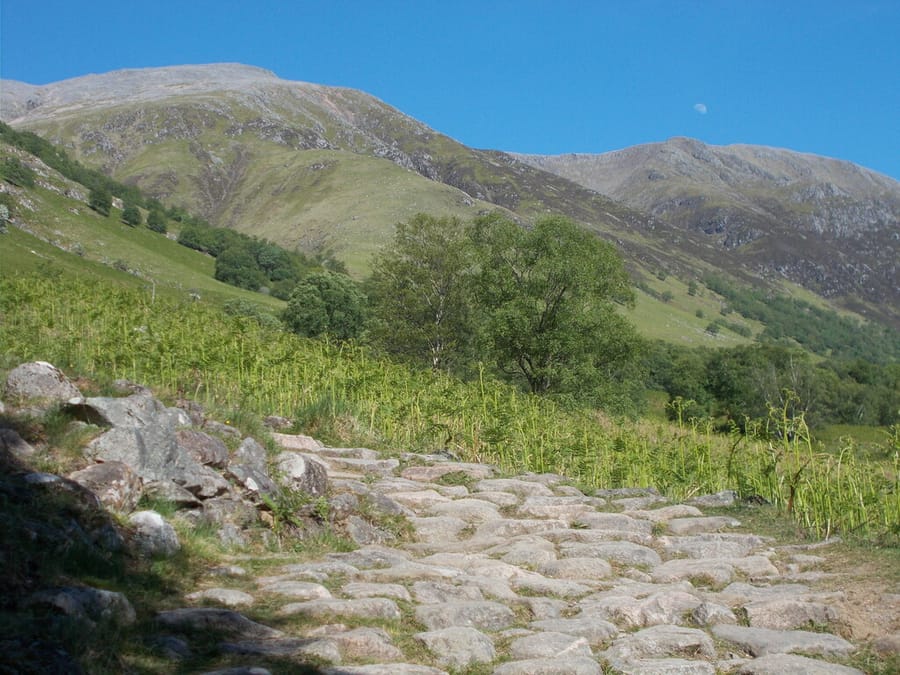 Ben Nevis. Photo: Peter S, via Geograph (CC BY-SA 2.0).
The UK's highest peak, with 1,345 metres of ascent on the standard Mountain Track and a seven-to-nine-hour round trip. Climb between May and September. Ben Nevis has a real, well-documented reputation for catching out experienced climbers on navigation, fog can roll in within minutes even on a clear summer morning, and it's genuinely common to leave a warm, sunny base and reach a freezing, zero-visibility summit the same afternoon.
#1: West Highland Way · Scotland · 96 miles
The West Highland Way. Photo: Ian S, via Geograph (CC BY-SA 2.0).Scotland's most iconic long-distance trail and the UK's busiest, roughly 36,000 walkers a year cover the 96 miles from Milngavie to Fort William, tracing Loch Lomond's shore, crossing Rannoch Moor, and approaching Glen Coe before Ben Nevis comes into view at the finish. May, June and September give the best balance of weather, daylight and crowds. Midges are a serious, not exaggerated, nuisance near water from June to August, a head net earns its place in the pack, and while wild camping is legal under Scotland's Outdoor Access Code (small tent, Leave No Trace, no more than two or three nights in one spot), the Loch Lomond section specifically requires a permit from March to September.